Introduction
With the Global Navigation Satellite System, surveying has achieved the highest precision level. In most parts of the world, RTK surveying has taken over the method of surveying over the traditional method for both cadastral and engineering surveys. Do you want to know, how RTK surveying has eased the work of engineers and surveyors?
What is RTK?
RTK stands for Real-Time Kinematic and is a technique that uses carrier-based ranging and provides ranges (and therefore positions) that are orders of magnitude more precise than those available through code-based positioning (Real-Time Kinematic (RTK), n.d.). GNSS stands for Global Navigation Satellite System (GNSS), similar to GPS, GLONASS, Galileo, NavIC, and BeiDou. The GNSS-RTK is known for its high accuracy up to the cm level. Traditional GNSS receivers like the one in a smartphone could only determine the position with two to four-meter accuracy.
GNSS-RTK measures the distance by comparing a code generated by the satellite with the same code generated internally in the receiver. The time difference between the two codes multiplied by the speed of the light gives the distance.
Components in GNSS RTK Surveying?
Primarily, RTK surveying mainly consists of receivers and satellites. There are two receivers known as the base station and rover. The base station is a GNSS receiver installed at a location whose precise position is computed by the other independent precision method of survey such as Total station. It can compute its location using the GNSS and computer the error in this measurement by comparing it to its precise location.
Base Station
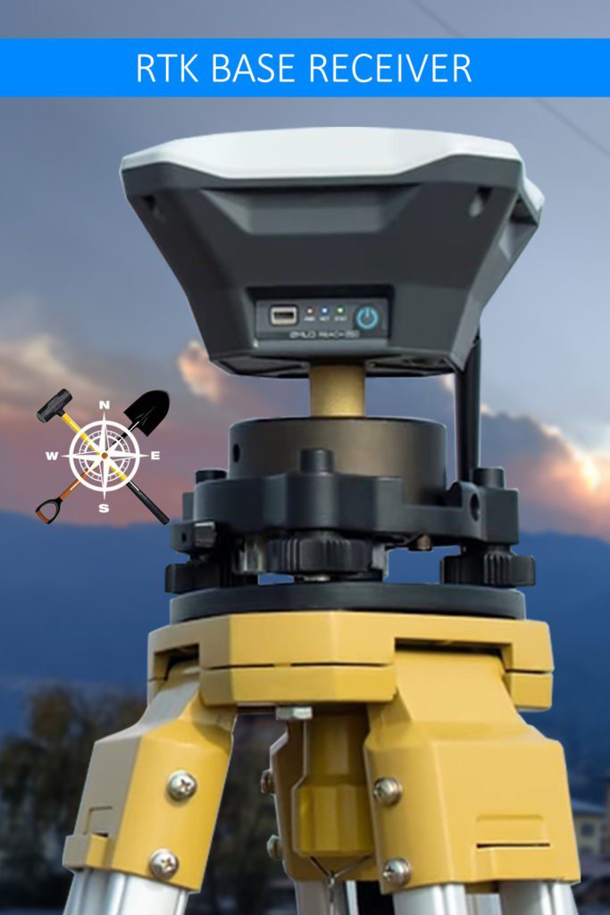
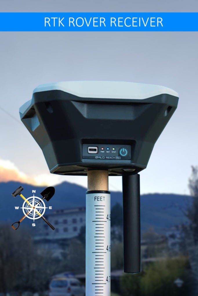
One Receiver is stationed in a fixed position (coordinates) as a base station. The RTK base station transmits its raw observations to the rover(s) in real-time and the rover uses both the rover and base observations to compute its position relative to the base.
Rover Receiver
After a short initialization time (often less than a minute) the rover can continuously determine a precise 3D vector relative to the base station. This type of surveying requires a reliable communication link between the base and the rover as the rover needs continuous observations from the base.
Controller
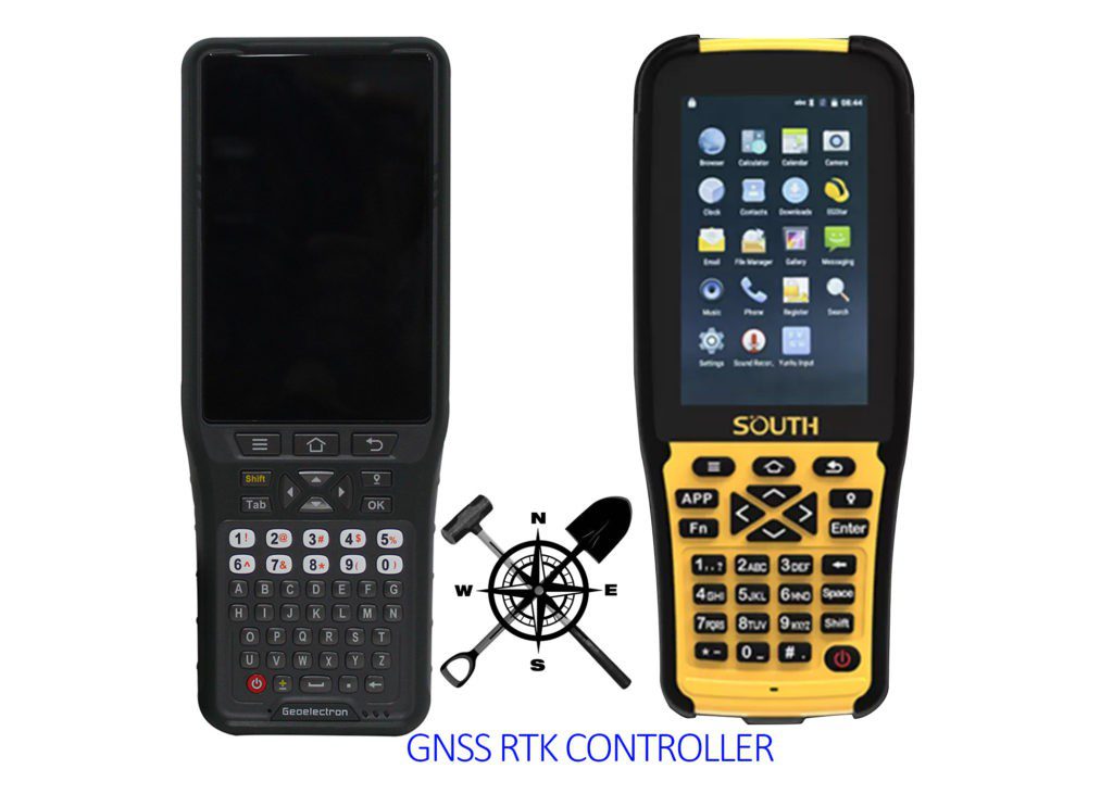
A device that comes with a screen touch or keypad which has a similar look to a smartphone and is powered by a window or Android application. This controller is used to collect the computed and corrected data from the rover. The controller is connected to the rover through Bluetooth, Rover and Base station are connected to the radio.
Types of Receiver of GNSS
In general, there are two types of receivers based on bands; single and multiple bands. A single-band receiver is designed to receive only one frequency band from the satellites. Whereas, the multi-band receiver works with several frequency bands. The number of frequency bands does not affect the accuracy. Each satellite constantly transmits single or multiple bands.
Comparisons between Single and Multi-Band Receivers
Point of Differences
- Multi-band achieves a fixed solution within seconds and maintains robust performance even if the sky view is partially blocked. Whereas, it takes up to several minutes for a single band receiver to get the fixed solution when you start to work.
- Multi-band receivers can work on longer baselines, up to 60km in real Time kinematics and 100km in Post Processed kinematics (PPK). For a single-band receiver, it works on a relatively shorter baseline up to 10km in RTK and 30km in PPK.
- A single band is ideally suitable for an open environment and a multi-band is suitable to work in tough conditions.
- A single-band receives an optimal and affordable compared to a Multi-band receiver.
Point of Similarities
- Both single and multi-band receivers have the same level of accuracy.
- Both types of devices can achieve fixed solutions.
- They can achieve centimetre accuracy when working with precise point positioning services
Advantages of RTK Surveying
RTK surveying is one of the fastest-growing methods of surveying and has many advantages over the traditional surveying method.
- Surveying with RTK is much faster and quick. Therefore, saves a lot of time for other activities.
- Data collected is highly accurate up to a centimetre level.
- The technology comes with powerful functionality that is capable of sticking and fixing points on the ground in real time.
Limitations or Disadvantages of RTK Surveying
As every coin has two sides, this method of surveying has some limitations too.
- They cannot do used in the marine or lands with obstructions (such as under buildings, trees, shaded areas, etc.).
- The base station needs to be guarded by a survey assistant to check the proper function of the machine, check the level of the battery and other human and animal interventions of the machine.
FAQs:
Q: What is GNSS?
Ans: GNSS stands for Global Navigation Satellite System. It refers to the satellite constellation system of the Earth which is used for positioning, navigation, and timing (PNT) services on a global or regional basis.
Q: What is RTK?
Ans: RTK stands for real-time kinematics. It is a technique used to improve the precision of standalone GNSS receivers.
Also, read:
- Theodolite Surveying | 2 Types of Adjustments | Errors
- An instrument for Chain Surveying
- Dumpy level Surveying | Principal | Components | Application
References:
- Real-Time Kinematic (RTK). (n.d.). NovAtel. Retrieved October 8, 2022, from https://novatel.com/an-introduction-to-gnss/chapter-5-resolving-errors/real-time-kinematic-rtk
- Real-time kinematic positioning. (2022, June 5). In Wikipedia. https://en.wikipedia.org/wiki/Real-time_kinematic_positioning
![]()


